Research & Development
2021년 12월 07일 2024-01-30 17:26Research & Development
Home
Business
R&D
R&D
Land Management R&D
SHINHAN Aerial Survey is constantly researching for effective land management using the latest technologies and equipment.
Observation of Slope Face Displacement with L-Band SAR
Existing slope face observation mainly use LiDAR, and this method is difficult to obtain on an accurate slope face due to non-surface data such as trees and shrubs. L-Band uses a wavelength of about 23cm and has transparency, so it is possible to acquire pure ground data on slopes covered with vegetation and shrubs.
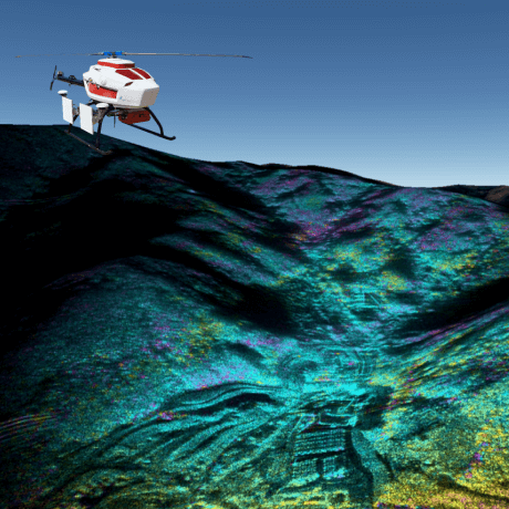
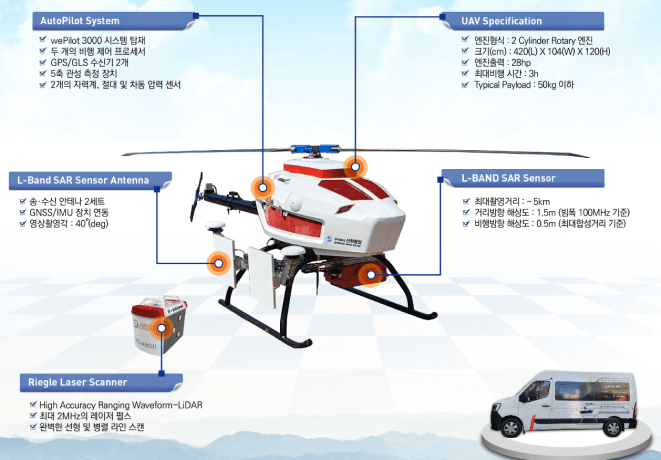
L-Band SAR System Composition
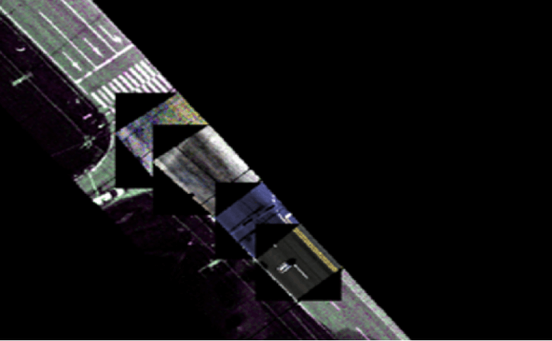
Checking the Road Condition with a Hyperspectral Sensor
By using a hyperspectral sensor mounted on the UAV, it is possible to monitor road conditions and aging road pavement using spectral reflection characteristics.
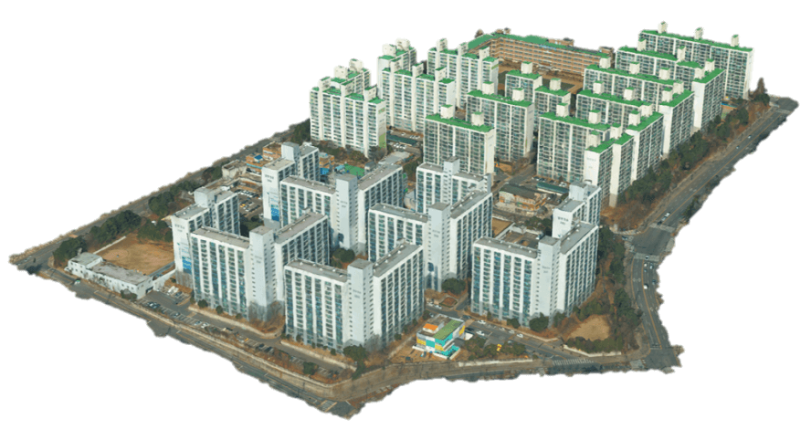
Building 3D Data for Artificial Intelligence Learning
Using airborne laser scanning, hybrid three-dimensional spatial information building system, and MMS, we are building urban three-dimensional data that can be used in various fields such as urban administration, transportation, disaster response, and tourism.
Agriculture Management R&D
Plant Monitoring Using Hyperspectral Sensor Mounted on the UAV
By using hyperspectral sensor, it is possible to monitor plants based on spectral information. The species can be identified using the spectral characteristics of each species, and the condition of crops can also be easily checked.
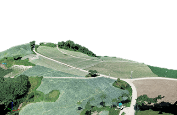
Optical Image
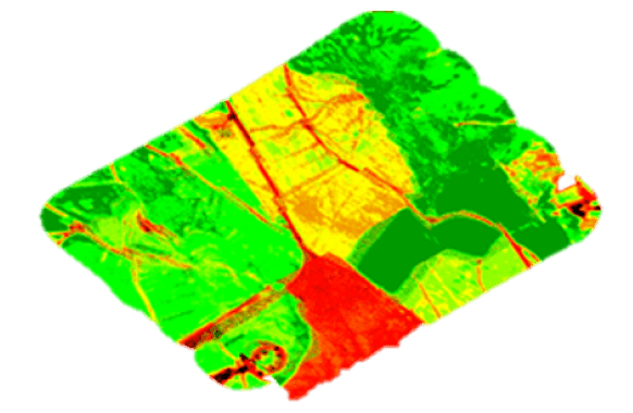
Hyperspectral Image
Water Resource Management R&D
Green Algae Detection Using a Hyperspectral Sensor
Optical images have limitations in green algae detection when light reflection on the surface of the water is severe or when there are many green creatures. However, if hyperspectral images are used, phycocyan, a native pigment of cyanobacteri, can be detected, which can detect green algae.
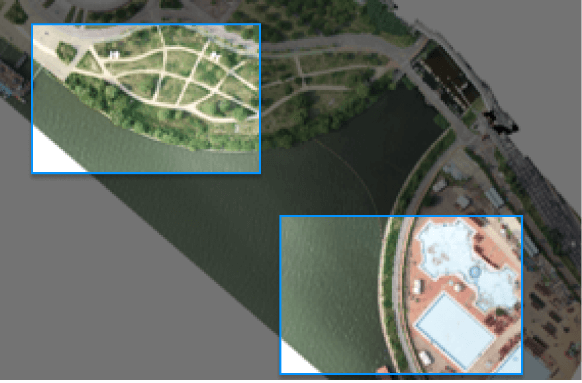
Optical Image
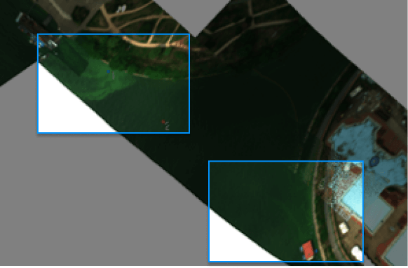
Hyperspectral Image

