Aerial Photography and Digital Map Production
2021년 12월 08일 2024-02-06 10:38Aerial Photography and Digital Map Production
Home
Equipment
Aerial Photography and Digital Map Production
Aerial Photography and Digital Map Production
Digitizer
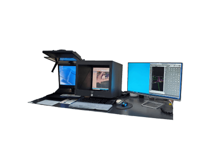
Application
Geometric correction of satellite imagery
Photogrammetric Ground Control Point Survey for Aerial Imagery
Digital Terrain Model (DTM) Construction and Update 3D Spatial Geographic Information Construction and Update
Processing Various Digital Elevation Data and Production of True Ortho Photos
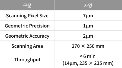
Specification

Scanner
Product Description
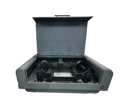
Deltascan
Manufacturer
Geosystem
Application
Production of Image Maps and Cadastral Maps
Printing Various Digital Maps and Drawings
Specification
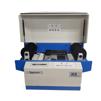
Product Description
Z/I Photoscan
Manufacturer
Z/I Imaging
Application
Production of Image Maps and Cadastral Maps
Printing Various Digital Maps and Drawings
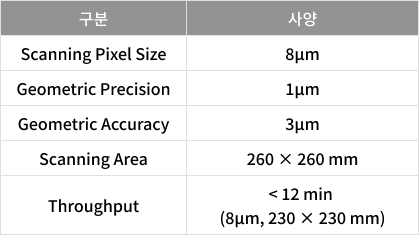
Specification
