Leica CityMapper-2, a hybrid three-dimensional spatial information building system owned by SHINHAN Aerial Survey improves productivity and data quality for digital twin in urban and metropolitan areas. After acquiring data through a hybrid 3D spatial information building system, the acquired data is processed through HxMap, a 3D spatial information automatic creation and management software, and the final result is used as 3D spatial information of digital twin.
SHINHAN Aerial Survey is positioned as a leading company in building 3D spatial information by possessing the most advanced aerial sensors and software to keep pace with the market that demands high productivity of 3D digital twin.
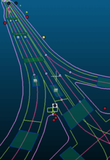
Example of Building Digital Twin Spatial Information Using CityMapper-2
What is Hybrid Three-Dimensional Spatial Information Building System?
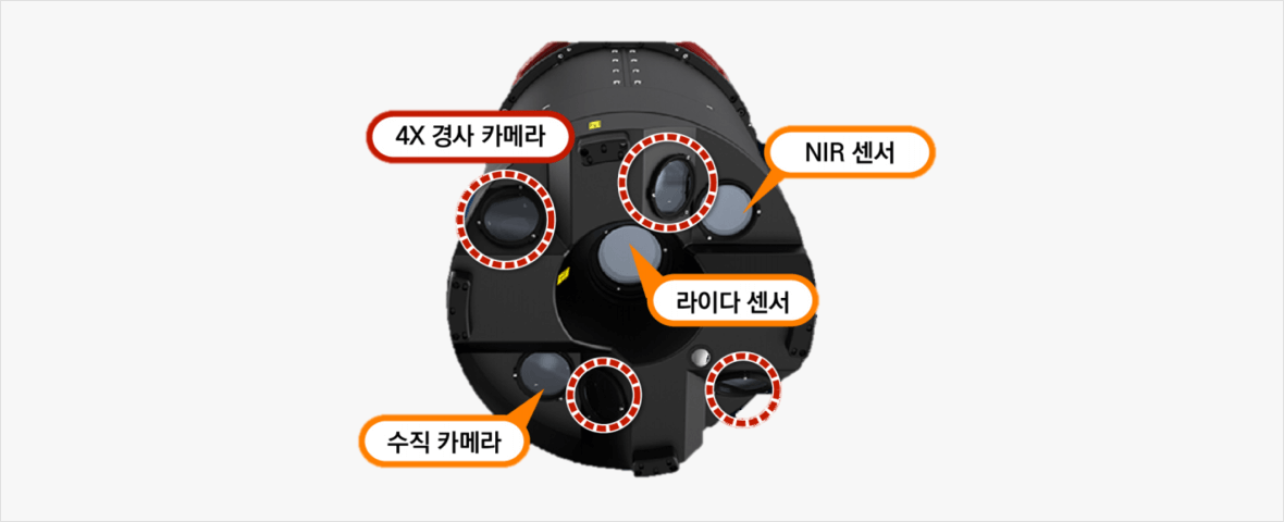
Leica CityMapper-2 Component
Building Digital Twin Spatial Information
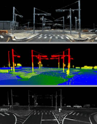
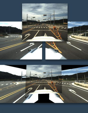
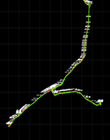
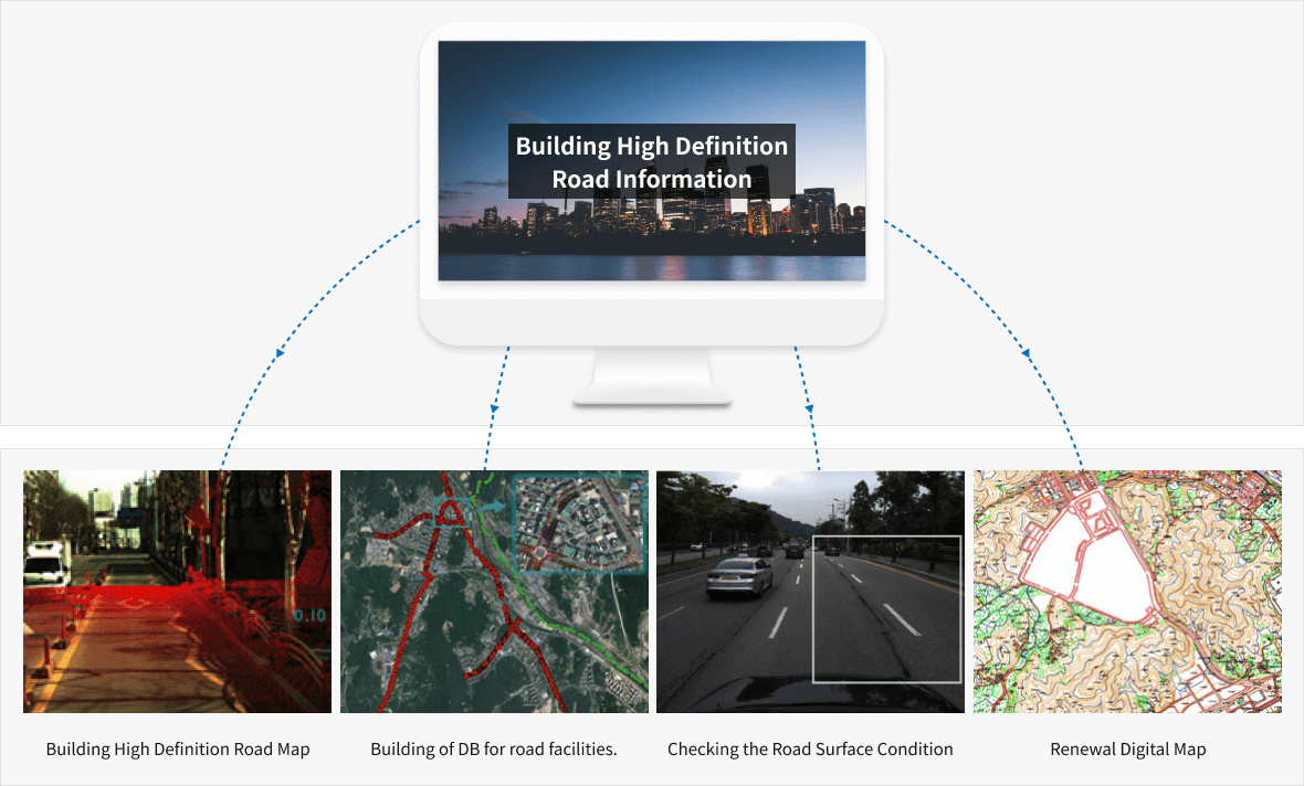
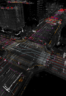
Using the Mobile Mapping System (MMS), we are building high definition three-dimensional spatial information by acquiring point cloud data, image data, and location/position data around the road.
MMS Data
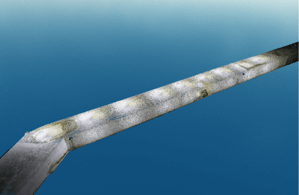
Point Cloud Data
Image Data
Position/Posture Data
Major Application Field
Building High Definition Road Map
Step. 01
Step. 02
Step. 03
Step. 04
Step. 05
Establishment of work plan
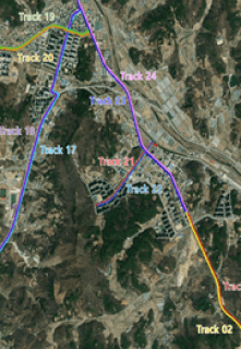
MMS and datum survey
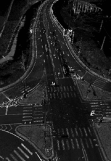
Standard data production
Drawing and structuring objects
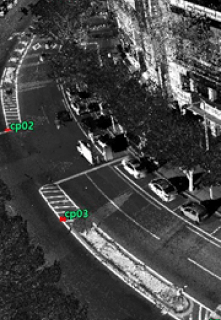
Accuracy check
Building High Definition Road Map
Step. 01
Establishment of work plan
Step. 02
MMS and datum survey
Step. 03
Standard data production
Step. 04
Drawing and structuring objects
Step. 05
Accuracy check
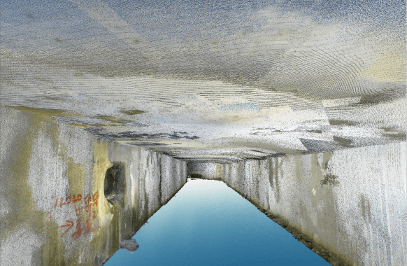
Building Underground Spatial Information.
SHINHAN Aerial Survey is building a GIS DB related to underground drainage system facility by acquiring high definition 3D data of underground spaces using the high-tech LiDAR equipment. The GIS DB, a sewage facility built in this way, is a great help in maintaining and managing sewage.