SHINHAN Aerial Survey is in the process of informatization business using geospatial data analysis and big data analysis of central government, affiliated organizations, local governments, public and private companies, and is developing geospatial data analysis and big data analysis-based business support systems and various convergence systems.
Systems
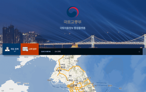
Cloud Based Land Use Information Integration Platform
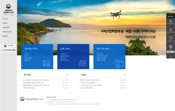
Comprehensive Management System for Survey Industry Information
Cloud Based Spatial Information Data Integration and Convergence Utilization System
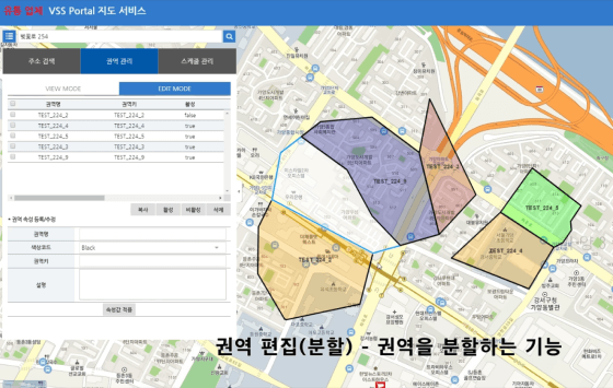
VVS Industrial Map Service
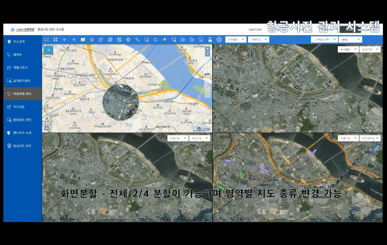
Aerial Photograph Management System
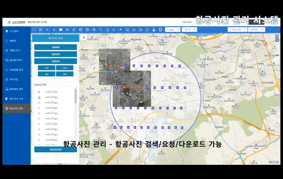
Using recently acquired aerial photographs, SHINHAN Aerial Survey is developing a system that allows client to conveniently check the area and easily identify changes in geographic feature without visiting the site.
The Function of the System
· Map Control, Searching, Viewing Attribute, OpenAPI · Export, Layout, Export, Area Extraction, Export CAD files (dxf, shp, etc.) · Searching Time Series Aerial Photographs, Map Tiling, V-World Connection · Provide Visualizaion and GIS Analysis Function
Example of the Function
Split Screen
Search/Download Aerial Photographs
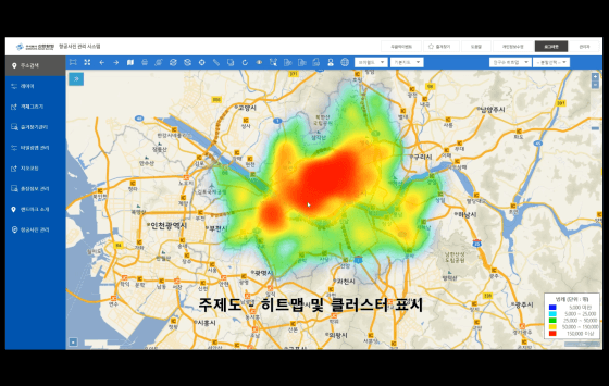
Thematic Map(Heatmap and Cluster)
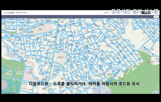
Road View
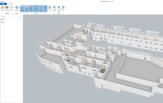
Building 3D Geospatial Information
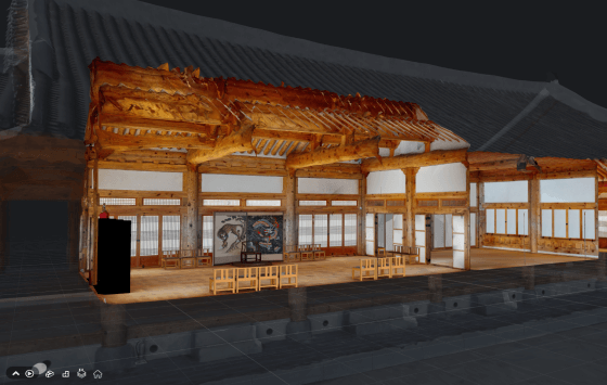
SHINHAN Aerial Survey is building 3D spatial information using image-based, CAD drawing information, and LiDAR.
The Major Technologies and Functions
· Image Based Indoor Spatial Information Building Technology · 3D Modeling Data Lightening Technology · Visualize the Connection of Indoor/Outdoor Spatial Information · 3D spatial information POI, Video and Panorama Functions · Non-plug-in WebGL3D Viewer
System
Building 3D Indoor Spatial Information Based on LiDAR
2D drawing → 3D Conversion
WebGL3D Viewer
Visualize the Connection of Indoor/Outdoor Spatial Information